Our Projects
RRCHNM has developed scores of projects. Our active catalog of work includes open educational resources, data-driven histories, and public history.
America’s Public Bible
American Religious Ecologies
Antisemitism, U.S.A.
Bracero History Archive
·
Child Custody Project
Children and Youth in History
Connecting Threads
·
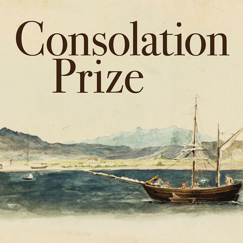
Consolation Prize
Creating Local Linkages
Current Research in Digital History
Death By Numbers
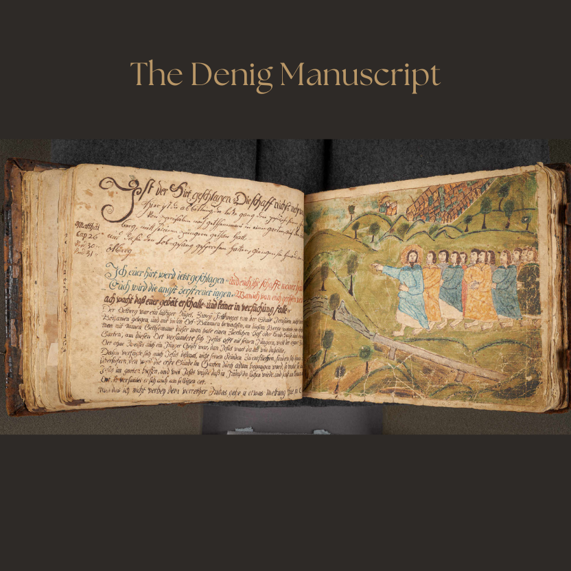
Denig Manuscript
Digital Public Humanities Graduate Certificate
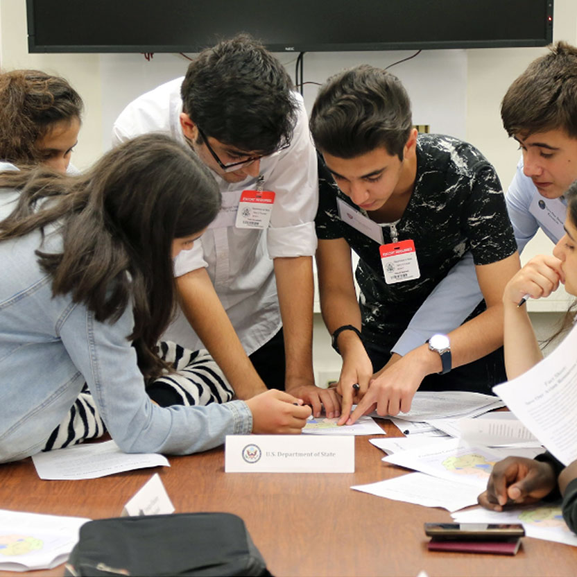
Discover Diplomacy
Eagle Eye Citizen
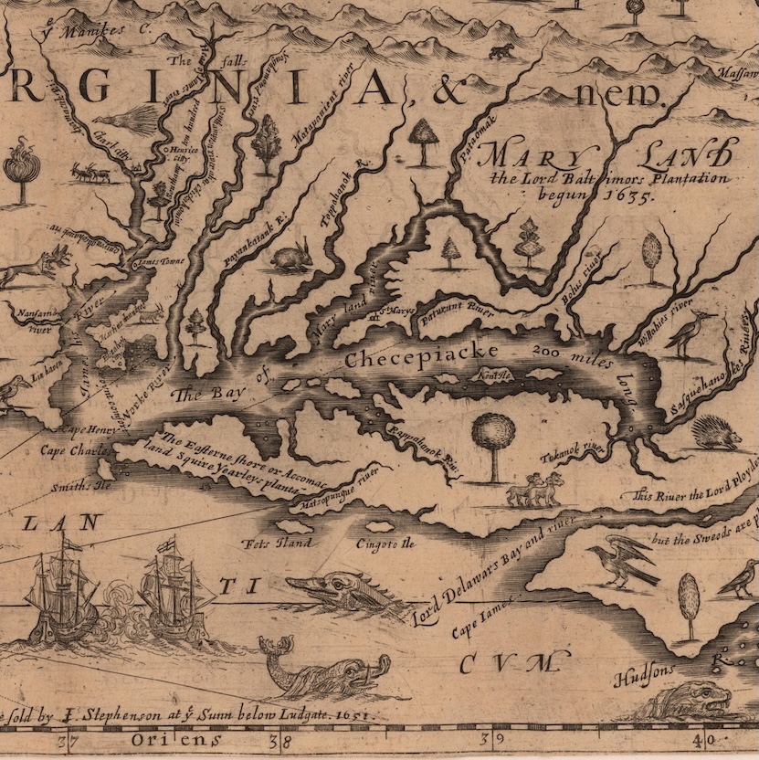
Early Modern Mapathons
For Us The Living
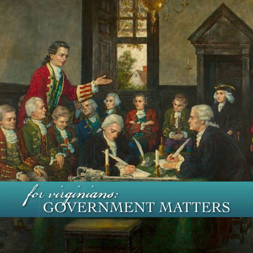
For Virginians: Government Matters
Green Tunnel Podcast
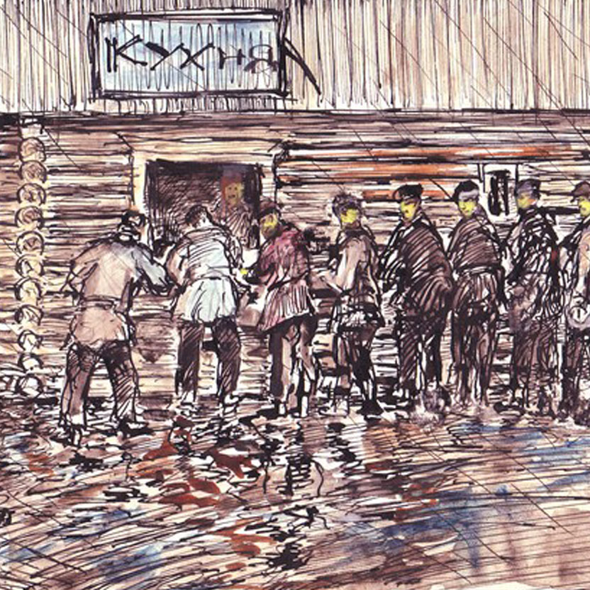
Gulag: Many Days, Many Lives
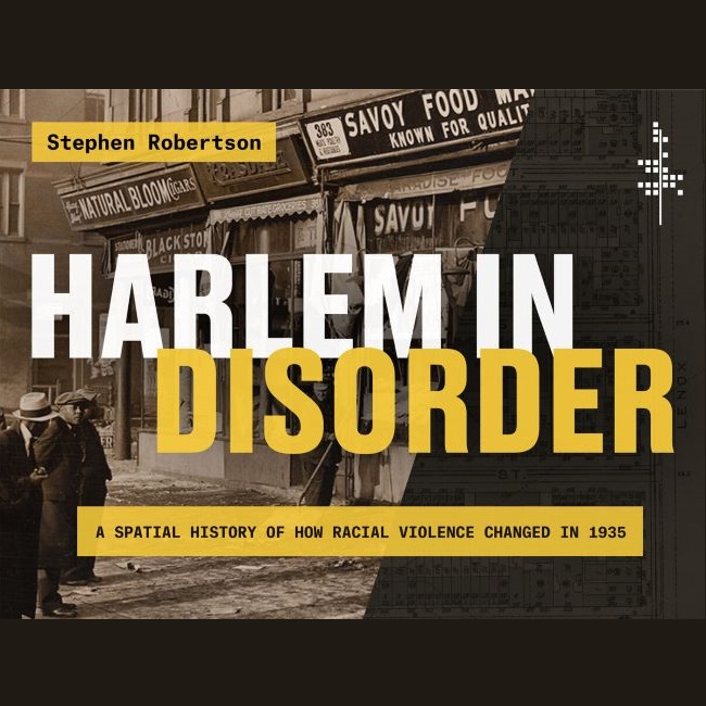
Harlem in Disorder
Hearing the Americas
Hidden in Plain Sight
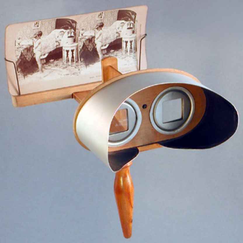
Historical Thinking Matters
Histories of the National Mall
History and Culture Access Consortium
·
Legal Modernism
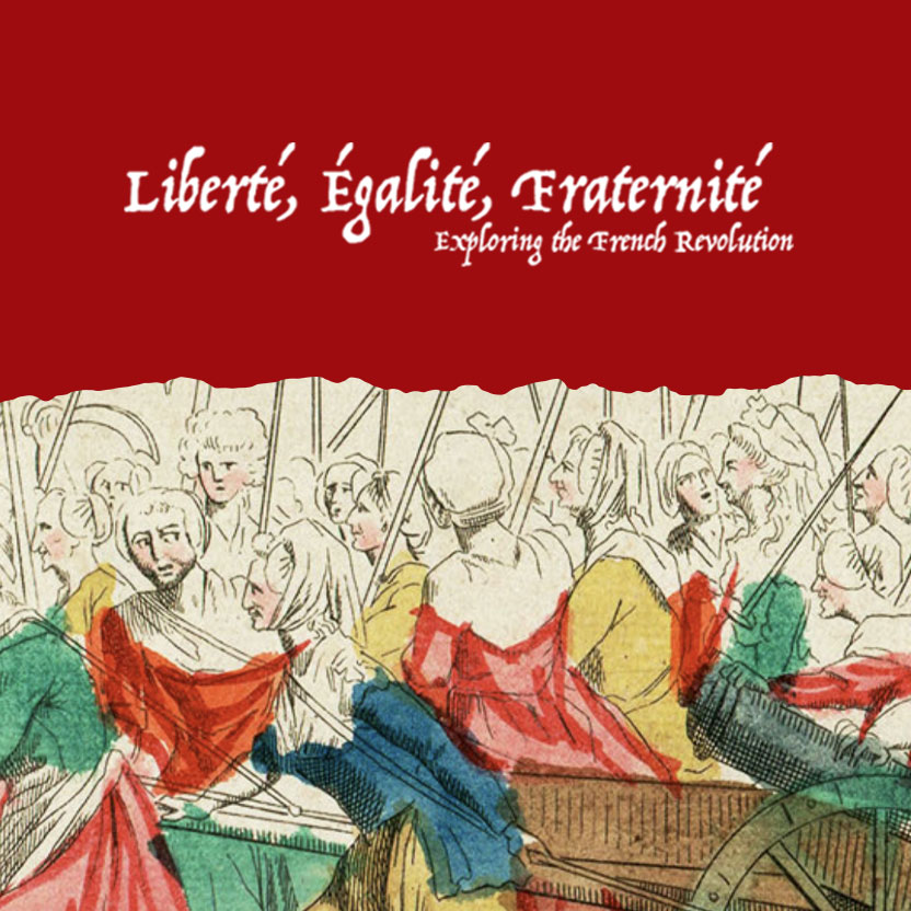
Liberty, Equality, Fraternity: Exploring the French Revolution
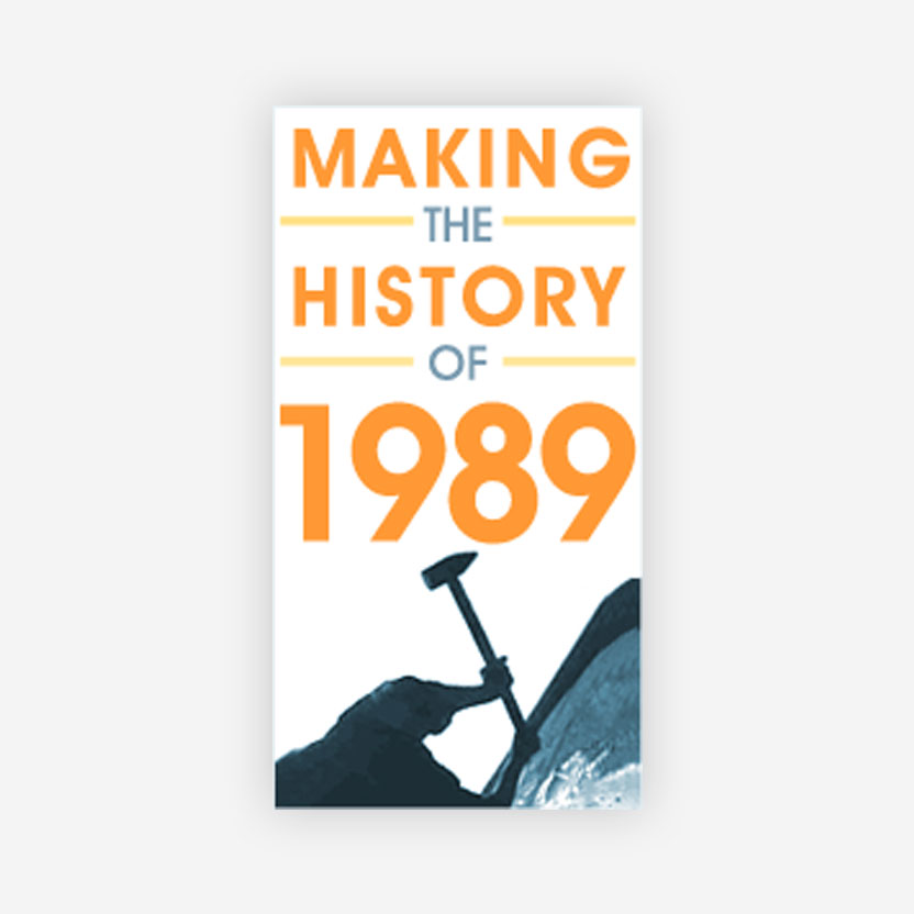
Making the History of 1989
Mapping Early American Elections
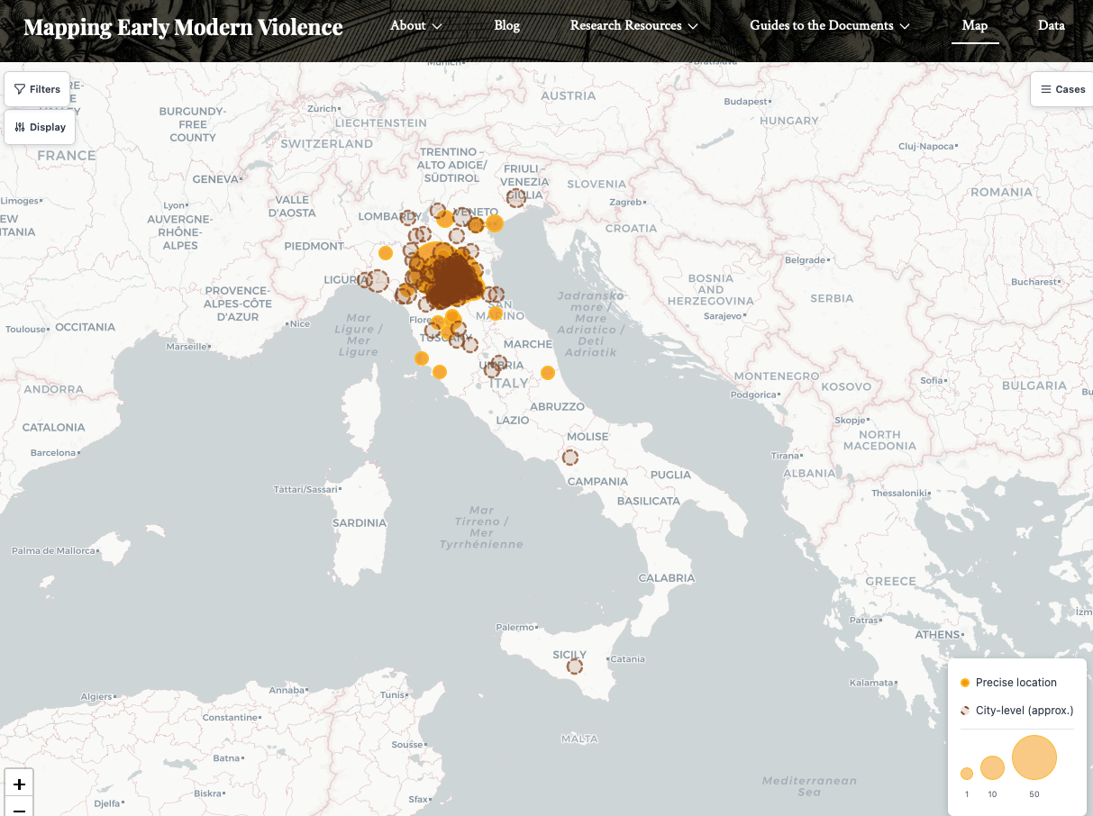
Mapping Early Modern Violence
Maritime Asia
·
Models of Argument-Driven Digital History
Out and About in Northern Virginia

Papers of the War Department 1784-1800
Pilbara Aboriginal Strike
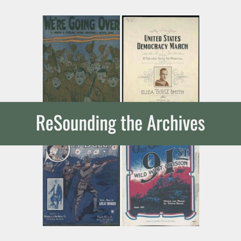
ReSounding the Archives
September 11 Digital Archive
teachinghistory.org
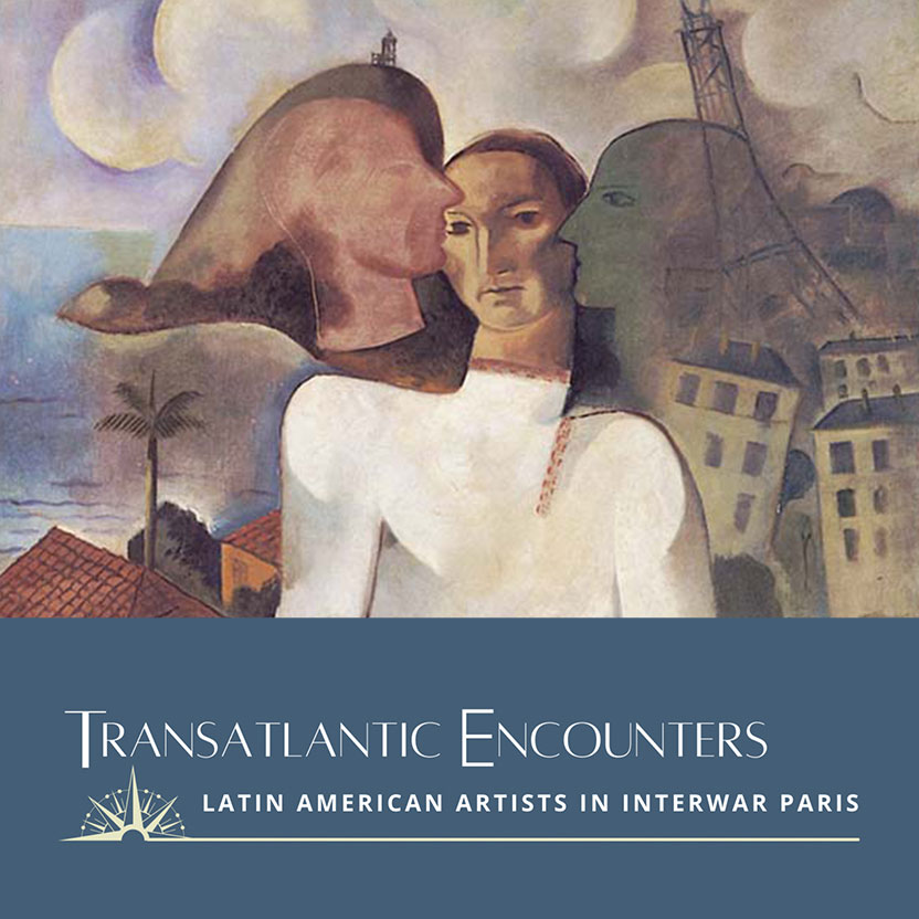
Transatlantic Encounters
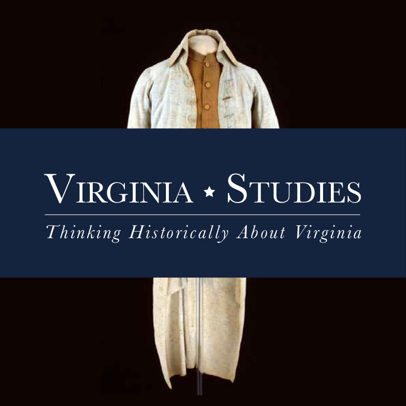
Virginia Studies
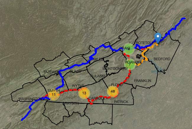
Virginia’s Lost AT
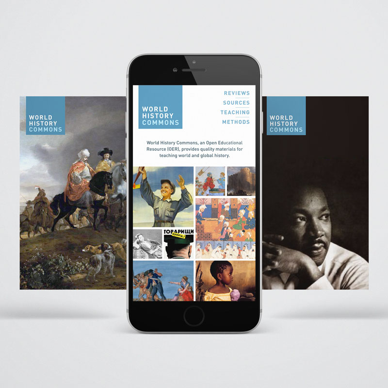
World History Commons
Looking for older projects? View our backlist of projects →